Eyesea teams up with Mapbox to further ocean pollution mapping efforts
Eyesea, a global nonprofit organisation dedicated to mapping and reducing global ocean pollution and maritime hazards, has partnered with Mapbox, a provider of location data and mapping technology, to power the Eyesea pollution tracking application.
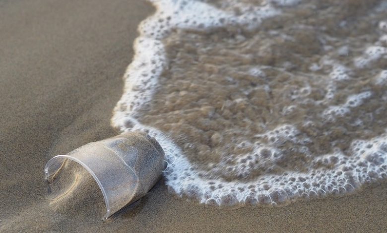
Eyesea’s mission is to use technology to make ocean impact and coastal pollution visible, and to ultimately eradicate it. The organisation uses a mobile app to allow seafarers and volunteers to collect data and photos of ocean debris, which are then processed and analysed by artificial intelligence algorithms to identify the type and location of pollution. This data is used by Eyesea’s partners to plan and execute clean-up efforts.
Mapbox technology and maps enhance Eyesea’s capabilities by providing high-quality, accurate and up-to-date mapping data, making it easier for volunteers and partner organisations to locate and document ocean pollution. Eyesea also uses Mapbox to develop custom map styles and visualisations to display the data collected by Eyesea volunteers.
Eyesea founder Graeme Somerville-Ryan commented: “It’s amazing to see the impact when we combine the resources of the tech and maritime industries. No matter where you live this is a common problem, and we all have a role in developing a viable solution.”